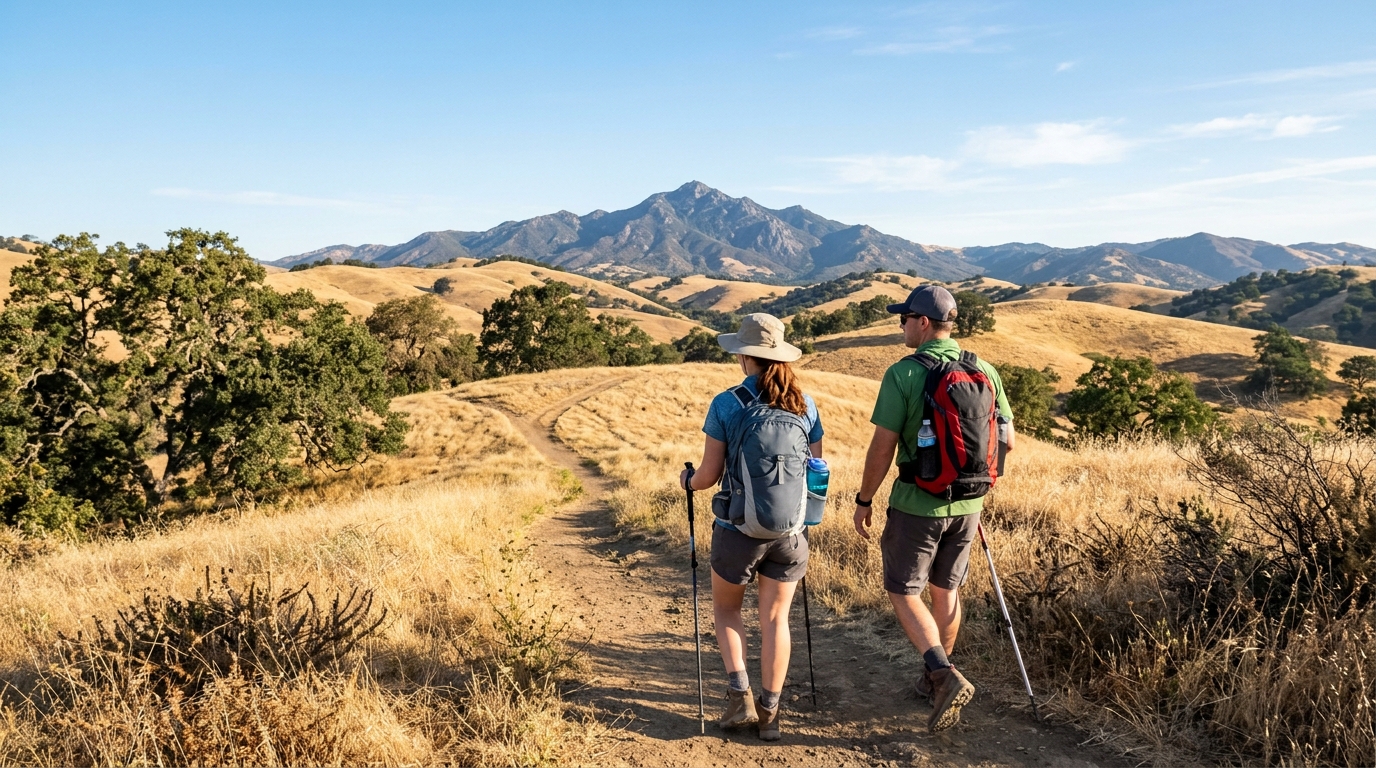
Summer hiking in Contra Costa County, but it also brings conditions that can change a pleasant walk into a serious problem. Inland temperatures can climb quickly, exposed hillsides offer limited shade, and dry grass increases wildfire risk. A safe outing starts before you reach the trailhead: choose a route that fits the weather, check current alerts, carry more water than you expect to need, and keep a realistic turnaround time.
This guide focuses on practical summer hiking safety for Mount Diablo, Briones Regional Park, Black Diamond Mines Regional Preserve, Contra Loma, and other open spaces across the county. It does not replace official park notices or emergency instructions. Before leaving home, review current conditions and the relevant agency’s rules, especially during heat advisories, smoke events, red-flag weather, or temporary closures.
How to Plan a Safer Summer Hike
Choose the Right Trail and Timing
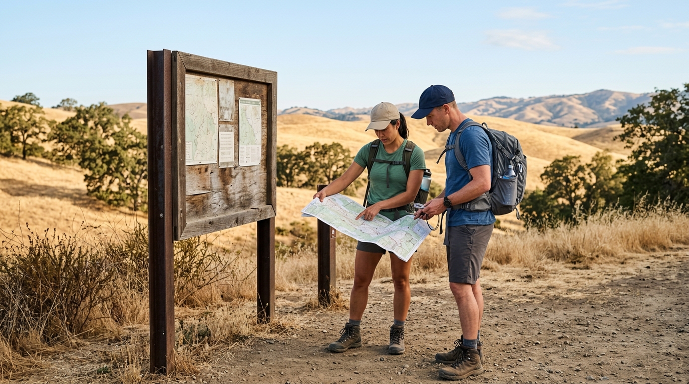
The best summer route is not always the most famous one. A steep, exposed trail that feels manageable in spring may be punishing in July or August. Start by considering distance, elevation gain, shade, water availability, cell coverage, and how quickly temperatures are expected to rise. New hikers should favor shorter loops with clear junctions and easy access back to the parking area.
Start Before the Heat Peaks
Early morning is usually the most comfortable window for hiking in inland Contra Costa County. It gives you cooler temperatures, softer light, and more time to turn back before the hottest part of the day. Do not treat a late start as a minor inconvenience. On open slopes, direct sun and reflected heat can make conditions feel much harsher than the forecast for a nearby city.
Set a firm turnaround time before you begin, even if you have not reached your intended viewpoint. A useful rule is to make the return easier than the outbound leg. If the trail climbs on the way back, save extra time and water. Sunset should not be your only deadline; heat, smoke, fatigue, and park gate hours can end a trip earlier than expected.
Match the Route to Current Conditions
Check the forecast, air quality, park alerts, trail closures, and fire restrictions on the morning of your hike. Conditions can differ sharply between the county’s western waterfront, central valleys, and eastern hills. A cooler alternative may be a shoreline walk in Richmond or Martinez when exposed inland trails are too hot.
For a broader list of places to consider, visit our Parks and Outdoors guides. When planning a mountain trip, our upcoming Mount Diablo day trip guide can help you compare viewpoints, trails, driving time, and seasonal conditions.
Pack for Heat, Smoke and Dry Terrain
Summer hikers often underestimate how much water, sun exposure, and dry air affect energy levels. Pack for a delay rather than for the fastest possible version of the hike. A wrong turn, a slow companion, a closed trail, or time spent helping someone else can extend the outing.
Carry Water and Replace What You Use
Bring enough drinking water for the entire route and do not depend on fountains, springs, or campground taps unless an official source confirms they are operating. California State Parks specifically advises Mount Diablo visitors to bring extra water because water availability on the mountain can be affected by conditions. Review the official Mount Diablo safety information before a visit.
Drink regularly rather than waiting until you feel intensely thirsty. For longer or more strenuous outings, a snack and an electrolyte drink may help replace energy and salts, but neither substitutes for water. Avoid alcohol before and during the hike because it can impair judgment and hydration.
Bring Navigation, Sun Protection and Emergency Essentials
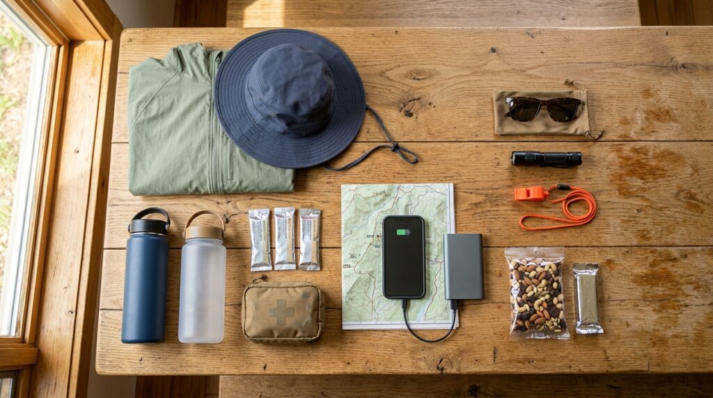
A practical summer day-hike kit should include a downloaded or paper map, charged phone, portable battery, hat, sunscreen, sunglasses, light-colored clothing, basic first-aid supplies, whistle, small flashlight, and an extra layer. Even when the forecast is hot, wind at higher elevations can feel cool after sunset or if someone must wait for help.
- Tell someone your route, trailhead, vehicle description, and expected return time.
- Use the buddy system when possible, especially on remote or unfamiliar trails.
- Keep pets home during extreme heat unless the route and surface are clearly safe for them.
- Save emergency numbers and park contact information before losing reception.
- Carry a mask if smoke or blowing dust is possible, but leave the area if air quality becomes unhealthy.
Learn the difference between ordinary fatigue and heat illness. Heavy sweating, weakness, headache, nausea, dizziness, or confusion are warnings to stop, seek shade, cool down, and assess whether emergency help is needed. Confusion, fainting, seizures, or very hot skin can signal a medical emergency. Call 911 rather than attempting to push through severe symptoms.
Where and How to Hike Responsibly
Mount Diablo offers expansive views and a large trail network, but its elevation, exposed roads, steep terrain, and variable weather demand preparation. Check alerts before driving up, carry extra water, and choose a route that leaves margin for heat and elevation gain. Cyclists and drivers should also use caution on the narrow, winding road and respect designated turnouts.
Briones Regional Park is known for rolling hills, ridgelines, oak woodland, and broad views. In summer, much of the landscape is dry and exposed. Begin early, pay attention to trail junctions, and do not assume every cattle trough or seasonal water source is safe or available. The open ridges can become uncomfortable quickly when wind drops and temperatures rise.
Black Diamond Mines Regional Preserve combines history with rugged grassland scenery. Its slopes can be extremely hot, while mine tours and underground areas may operate under separate schedules or reservation rules. Treat the historical features as protected resources, remain on designated routes, and check whether facilities or tours are available before making them the centerpiece of your trip.
Adapt Your Plans at Popular Contra Costa Parks
Contra Loma Regional Park can be a useful family destination because it combines trails, reservoir scenery, fishing, and seasonal recreation. However, storm damage, maintenance, swim-area operations, and water-quality conditions can affect access. Verify current notices before leaving, particularly when planning around a specific trail or swimming opportunity.
Waterfront routes in Richmond, Martinez, Pinole, and along parts of the Bay Trail can provide alternatives when inland heat is intense. They may offer breezes and flatter terrain, but they still require sun protection, water, and awareness of wind. Fog or cooler air can also arrive quickly, so a light layer remains useful.
Wherever you hike, reduce wildfire risk. Do not smoke on dry trails, park over tall grass, use fireworks, or ignore restrictions on flames and equipment. If you see smoke, do not move closer for a better view. Turn around, follow ranger or emergency instructions, and avoid blocking roads needed by responders.
Responsible hiking also protects the places people come to enjoy. Stay on durable surfaces, carry out every piece of trash, leave historic objects and natural features in place, keep wildlife at a distance, and follow leash rules. During dry months, cutting switchbacks can damage fragile slopes and create erosion when winter rain returns.
Build flexibility into the day. A successful summer outing might mean replacing a long summit hike with a short shaded walk, moving the trip to sunrise, or choosing a waterfront route instead. Browse our city guides for nearby cafés, museums, historic districts, and indoor alternatives when outdoor conditions are poor. You can also plan a future ride using our upcoming guide to the best bike trails in Contra Costa County.
The central lesson is simple: the trail does not need to be difficult for heat, smoke, fire danger, or poor planning to create risk. Check conditions, start early, carry sufficient water, share your plan, and be willing to turn around. Those choices protect you, reduce pressure on emergency responders, and make it more likely that everyone returns with a positive experience.