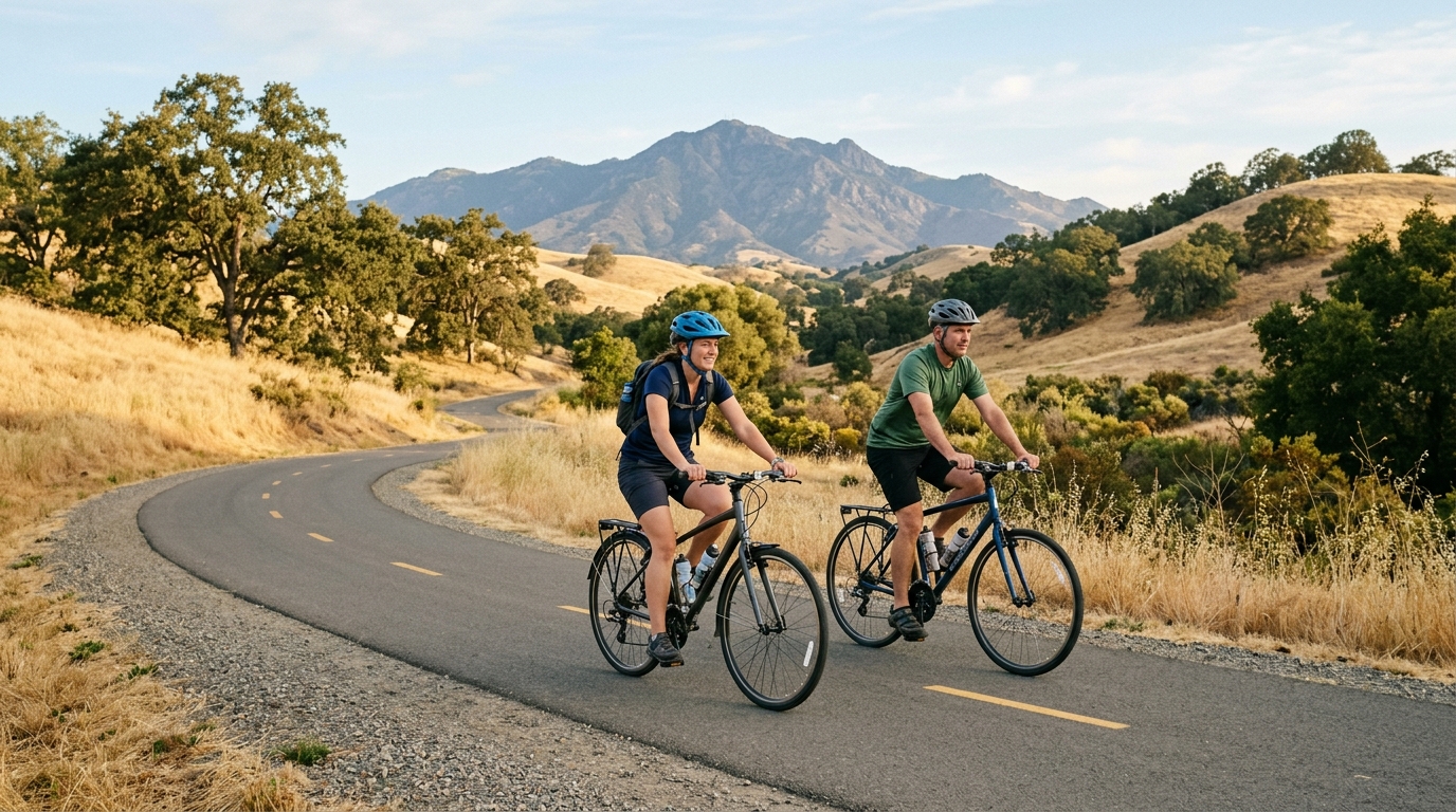
Contra Costa County offers a strong mix of paved regional trails, neighborhood connections, creek corridors, farmland views, and waterfront riding. Summer 2026 is an especially good time to explore by bike because the county’s free Summer Bike Challenge runs from June through August and encourages riders of all ages to visit local points of interest. The best route, however, depends on distance, shade, heat, traffic comfort, and whether you want a family ride, a fitness workout, or a practical car-free trip.
This guide focuses on several of the county’s most useful paved and multi-use routes, including the Iron Horse Regional Trail, Contra Costa Canal Regional Trail, Lafayette-Moraga Regional Trail, Marsh Creek Regional Trail, Delta de Anza Regional Trail, and Richmond waterfront connections. Trail conditions and temporary restrictions can change, so check current alerts before leaving. Riders planning longer summer outings should also read our summer heat and trail safety guide.
How to Plan a Better Summer Bike Ride
Choose a Route That Matches the Rider
A trail may be paved and mostly separated from traffic yet still feel difficult because of distance, sun exposure, busy crossings, wind, or limited water. Before choosing a route, consider who is riding, how far everyone can comfortably travel, and whether the return leg will be hotter, windier, or more tiring. Families and newer riders often enjoy an out-and-back route because it allows the group to turn around at any point.
Match Distance, Surface and Access to Your Ability
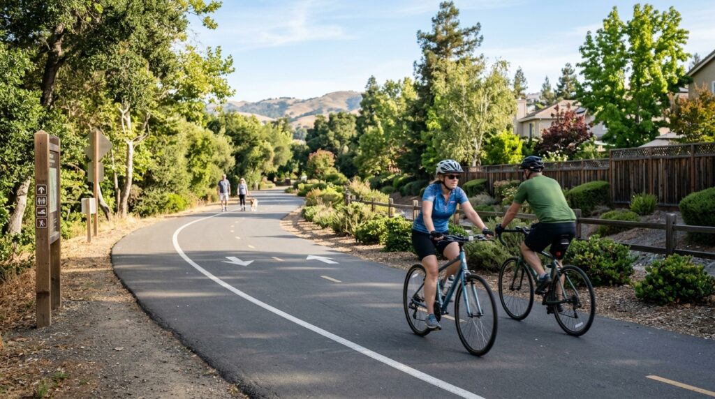
The Iron Horse Regional Trail is one of the county’s most versatile choices. The completed route spans about 32 miles between Concord and Pleasanton and follows a former Southern Pacific railroad corridor. Riders do not need to complete the entire trail. Short sections through Concord, Walnut Creek, Danville, and San Ramon can work well for casual rides, commuting, or connections to food and parks.
The Contra Costa Canal Regional Trail is another approachable option. Its paved corridor links Martinez, Pleasant Hill, Walnut Creek, and Concord while connecting several community parks and the Iron Horse Trail. Its flatter profile makes it useful for beginners, although intersections, neighborhood access points, and summer exposure still require attention.
For a quieter suburban ride, the Lafayette-Moraga Regional Trail extends about 7.65 miles beside St. Mary’s Road. It serves walkers, cyclists, and equestrians and offers access between Lafayette and Moraga. Some current vegetation work may temporarily narrow parts of the trail, so review official alerts before planning a group ride.
Check Heat, Wind, Maintenance and Trail Alerts
Summer riding is usually most comfortable early in the morning. Inland routes through Concord, Antioch, Pittsburg, Brentwood, and Oakley can become extremely hot by midday, while Richmond shoreline routes may be cooler but windier. Check the hourly forecast rather than relying only on the daily high, and consider the direction of afternoon wind when planning an out-and-back trip.
East Bay Regional Park District alerts currently note that annual maintenance may cause brief closures along the Contra Costa Canal Trail during 2026. Temporary width restrictions have also been posted for portions of the Lafayette-Moraga Trail. These notices may change, so use the official East Bay Regional Park District alerts and closures page before riding.
Download a trail map and save the location of your starting point. The 511 Contra Costa Bike Mapper can also help compare routes based on hill tolerance and preference for bike paths, bike lanes, or a more direct trip. For city-specific stops, cafés, and parks near your route, browse our Contra Costa city guides.
Prepare Your Bike and Share the Trail Safely
A basic safety check takes only a few minutes. Confirm that both tires are properly inflated, brakes engage firmly, the chain runs smoothly, and the wheels are secure. Bring a spare tube or patch kit, tire levers, a compact pump, water, identification, a charged phone, and a small first-aid kit. Riders using e-bikes should begin with enough battery for the full trip and avoid depending on an unconfirmed charging location.
Use Predictable Trail Etiquette
Regional trails are shared by cyclists, walkers, runners, children, dogs, mobility-device users, and sometimes horses. Ride at a speed that allows you to stop safely. Keep right except when passing, announce yourself before overtaking, and leave enough space so the other user is not startled. Slow down near trailheads, playgrounds, blind corners, intersections, and crowded park entrances.
Use a bell or clear verbal warning such as “passing on your left.” Do not assume headphones, wind, or conversation will allow someone to hear you immediately. When approaching horses, slow down and follow the rider’s directions. Dogs should be given additional space because their movement can be unpredictable.
At road crossings, reduce speed and look in every direction even when you believe you have priority. Drivers may turn across the trail or fail to notice a fast-moving cyclist. Use front and rear lights during low light, fog, or shaded conditions, and wear visible clothing. A helmet is essential for every rider and is legally required for riders under 18 in California.
Plan Water, Rest Stops and a Flexible Turnaround
Carry more water than you expect to use, especially on eastern county routes where shade can be limited. Do not assume drinking fountains are operating. A short break in a shaded park can prevent fatigue from becoming a safety problem. Pack a snack for longer rides and keep some energy in reserve for the return.
Set a turnaround time before starting. If a rider is struggling, the wind increases, or temperatures rise faster than expected, shorten the route. A successful summer ride is one that ends comfortably, not one that reaches a specific mileage target at any cost.
Best Contra Costa County Bike Trails to Explore
1. Iron Horse Regional Trail: This is the best all-around choice for riders who want flexible mileage and access to several communities. The 32-mile corridor connects Concord with Pleasanton and passes through central Contra Costa County. A major resurfacing project completed in late 2025 refreshed about 10 miles of the trail, improving the riding surface on those sections. Try a shorter Walnut Creek-to-Danville segment, or use BART and local access points to avoid a difficult parking plan.
2. Contra Costa Canal Regional Trail: The 13.5-mile paved route follows the canal through Martinez, Pleasant Hill, Walnut Creek, and Concord. It connects parks such as Larkey Park and Heather Farm and intersects the Iron Horse Trail. The trail works well for a family outing or relaxed fitness ride, but riders should expect street crossings and possible maintenance activity.
3. Lafayette-Moraga Regional Trail: This roughly 7.7-mile paved linear trail follows St. Mary’s Road between Lafayette and Moraga. Its manageable length makes it useful for a half-day ride, while the Lafayette end can connect with food, transit, and other local activities. Because the route is shared, cyclists should control speed around walkers and equestrians.
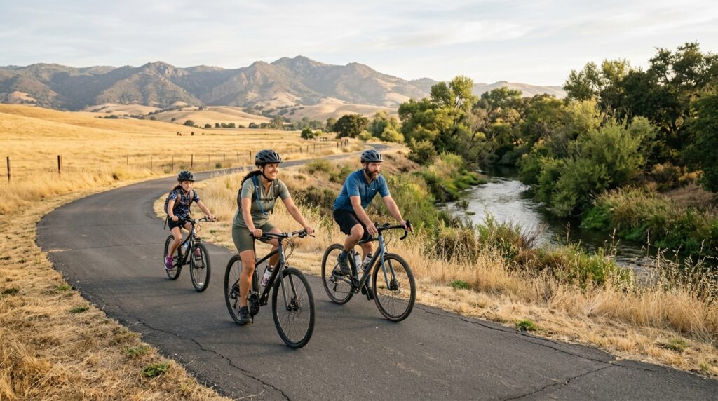
4. Marsh Creek Regional Trail and Big Break: The paved Marsh Creek Trail travels through eastern Contra Costa farmland between Brentwood and the Delta shoreline near Big Break. The official trail page describes the current route as about 6.5 miles, while connected paved shoreline sections can extend the experience. Much of the route is exposed, so start early, carry water, and expect heat and occasional wind. Big Break adds Delta scenery, birdlife, and a natural stopping point.
Six Routes for Families, Fitness and Scenic Riding
The 2026 Summer Bike Challenge provides another reason to ride locally. The free program runs from June through August and invites participants to bike to points of interest on city gameboards, share photos, and enter prize drawings. It is designed for riders of different ages and experience levels, making it a useful way to turn short neighborhood rides into a summer activity.
For most riders, the best Contra Costa bike trail is not simply the longest one. It is the route that matches the day’s temperature, the group’s ability, the available time, and the type of scenery you want. Start early, check alerts, carry water, ride predictably, and leave room to change the plan. With those basics handled, the county’s regional trail network can support everything from a relaxed family outing to a full-day cross-county ride.